


Keith McNenly
Special to The Lake Report
The Niagara River is not simply a dramatic setting for development. It is Ontario’s great glacial landscape corridor: a 58-kilometre river connecting Lake Erie to Lake Ontario, carrying the waters of the upper Great Lakes, passing historic towns, agricultural lands, battlefields, gardens, gorge, escarpment, hydro works and the Falls themselves.
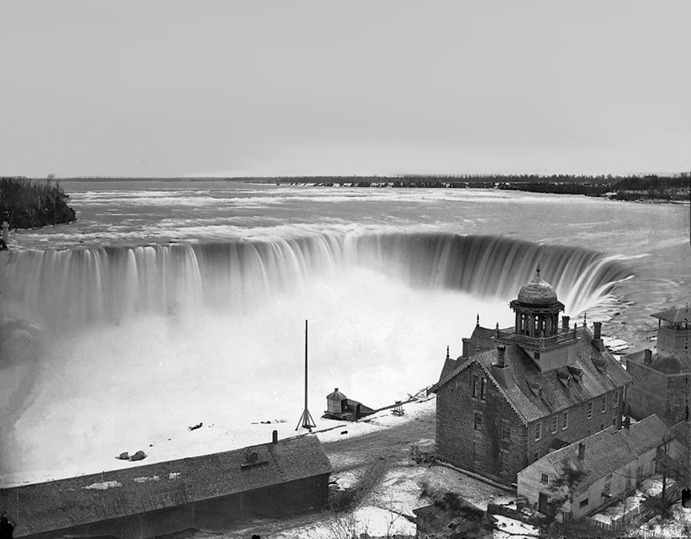
The Falls are its geological centrepiece — not its only asset.
That larger understanding is essential as Ontario considers new entertainment and casino development. We should not treat Niagara as an empty platform on which to generate revenue streams for provincial coffers. We should build from the public landscape earlier Ontarians assembled: a landscape whose economic value lies precisely in its singular nature, history and public accessibility.
In the late 19th century, Ontario and the state of New York faced the same Niagara questions. Both recognized the river’s immense potential for industrial growth with the emerging promise of large-scale hydroelectricity. Both endured aggressive tourism commercialization at the Falls: private fences, paid viewpoints, mills, factories, hotels, signs and attractions competing for control of a natural wonder. And, in 1885, both created public park institutions to reclaim the scenery.
But their wider development visions diverged.
New York created the State Reservation at Niagara, now Niagara Falls State Park. Yet the reservation became a protected scenic core within a wider hydro-industrial city, while development from Lewiston to Buffalo made the American side an industrial-energy region.
Ontario also created a public park at the Falls — Queen Victoria Park, opened in 1888 after the province expropriated private frontage and removed many buildings.
But Ontario’s more consequential decision was to extend the idea beyond the immediate brink.
Niagara Parks acquired historic sites, assembled land and built connecting roads until it became steward of much of the riverbank from Fort Erie to Niagara-on-the-Lake. The system now includes thousands of acres of parkland, heritage sites, gardens, the parkway and trail connections along the river corridor.
This was not anti-development. Ontario developed power intensely. The parks commission leased water rights and lands to hydroelectric companies, using the revenue to help sustain the park system. Yet its agreements required attention to the Falls’ natural features and gave the commission control over plans and construction.
In other words, power was promoted, but scenery, public access and the overall composition of the landscape remained governing concerns.
Even the power buildings expressed that principle. The Toronto Power Generating Station was designed by E. J. Lennox, architect of Toronto’s old City Hall and Casa Loma. It is an ornate, monumental building beside the river, not a disposable shed.
Nearby, the former Canadian Niagara Power Company generating station has been restored as a major visitor attraction, allowing the public to experience the monumental architecture and engineering that once powered the region. Ontario’s early hydro works demonstrated that essential infrastructure could be technologically ambitious while still architecturally distinguished.
The landscape itself explains why that restraint mattered. Niagara emerged during the Holocene — the current geological epoch of human civilization — following the last ice age. Retreating glaciers left the Great Lakes basin and enormous meltwater flows; the Niagara River then cut through the Niagara Escarpment.
Hard dolomite and limestone over softer shale created the conditions for undercutting, collapse, gorge formation and the upstream retreat of the Falls — roughly 11 kilometres over about 12,000 years.
That unique geological confluence is the reason the region exists as a global destination. It supports the river, gorge, whirlpool, escarpment, soils, agricultural landscape, hydroelectric history, parks, trails and enduring drama of the Falls.
Ontario today should therefore begin with a simple planning principle: the Niagara River and escarpment landscape is the asset; economic development must serve it.
That does not mean rejecting hotels, restaurants, or carefully located complementary attractions. It means applying a hierarchy. The river, Falls, gorge, escarpment, public views, parkland, geological integrity, and historic places come first. New development must fit around that inheritance rather than treating it as a branded backdrop.
Niagara does not need to prove it can imitate other world destinations with observation wheels and casinos. Its advantage is that it possesses attributes no other destination can reproduce.
Earlier Ontarians understood that public ownership, pastoral landscapes, gardens, historical preservation and architecturally serious infrastructure could be forms of economic development. They created a foundation that continues to draw visitors more than a century later.
Our task is to respect that foundation — ecologically, culturally, architecturally and economically — so that Niagara remains a public landscape whose beauty governs development: a place where Indigenous and settler histories are interpreted honestly, fully and with respect, within a geological and glacial inheritance unlike any other.
Niagara-on-the-Lake resident Keith McNenly was the chief administrator of the Town of Mono for 41 years.