
As we move toward the municipal election in October, some of the candidate platforms include short forms and abbreviations that leave folks scratching their heads while trying to figure out just what is being referred to.
So, this week I thought it might be worthwhile to provide some context for a few of these terms.
Let’s start off with “OLT,” the abbreviation commonly used for the Ontario Land Tribunal.
This tribunal was established by government legislation in 2021 with a mandate to “fairly, effectively and efficiently resolve disputes related to land use planning, environmental and natural features and heritage protection, land valuation, land compensation, municipal finance, and related other matters as authorized by statute and regulation.”
In short, and keeping within the primary focus of this column, the Ontario Land Tribunal serves to adjudicate in cases where there is a dispute (impasse) between a municipality and the owner of a property with respect to intended or planned use of that property.
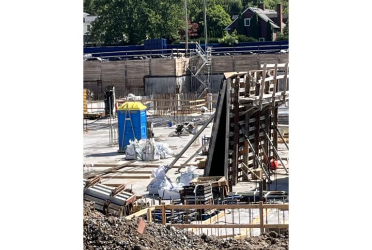
This can be as simple as a municipal decision to deny a permit for an addition on a house to, at the other extreme, denying a proposed plan of development for a subdivision. Typically, the property owner/developer will choose to appeal the municipal decision to the tribunal.
While the tribunal is purported to be fair and impartial, its track record indicates that governmental policy exerts a massive influence on proceedings.
To date in 2022, of 178 decisions rendered by the Ontario Land Tribunal, 172 (or 97 per cent) have been found in favour of the property developers. Clearly, this lopsided record is more than indicative of where the bias lies.
Another contraction, CPPS, stands for Community Planning Permit System. This system can have a major impact on how citizens are able to intervene in development decisions in specifically defined areas of their municipalities.
A municipality that uses a Community Planning Permit System can pre-approve development in a whole district by passing a single bylaw that lays out not just the land use, height and density that will be accepted, but also zoning and site plan requirements such as landscaping, parking and exterior design.
As well, it can mandate conditions of development such as affordable housing requirements and other community-based facilities.
In a district subject to a Community Planning Permit bylaw (which must be passed by council), the normal consultation process on development is suspended.
This means developers do not have to go through a rezoning application on each parcel, provided the development proposed is consistent with the official plan and the CPP bylaw for that area the application cannot be turned down by the municipality.
Conversely, a developer cannot apply to amend a CPP bylaw for two years and even then it would have to review the entire bylaw and not just its own site.
So, how does this impact any public consultation vis-à-vis development?
Well, there isn’t any during the application process. Once the official plan policies and Community Planning Permit bylaw are adopted for a specified district, it is assumed that the citizens have been consulted on and agreed to the common community vision up front (prior to official plan policies and CPP bylaw being passed).
There is typically a process of notification to the citizenry of the applications made and in process, but that is pretty much it.
And keep in mind that the outcome of an application in a Community Planning Permit area is not appealable by citizens to the Local Planning Appeals Tribunal (a part of the OLT) if that application is approved by the municipality. Conversely, a developer can appeal should the application be turned down.
All that said, on the face of it, a Community Planning Permit System should introduce significant efficiencies and predictability into a municipality’s permitting system while ensuring a reasonable level of contextually appropriate development.
But, like anything else, the quality of the upfront work (criteria, guidelines, etc.) that is incorporated within the Community Planning Permit will determine the level of its success.
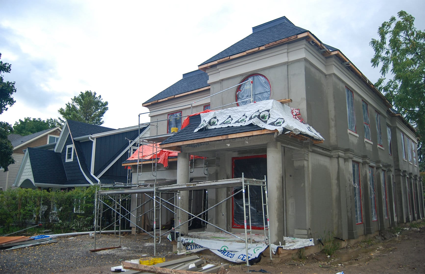
Now, contextual zoning is not an abbreviation, but rather a label referring to a methodology that generally regulates the height, placement and scale of new buildings so they fit the character of the streetscape and neighbourhood in which they will be located.
For example, the height of a new building would typically be the average derived from the heights of abutting houses. Any variance from this average would be limited to the maximum and minimum heights of abutting houses.
Note that in jurisdictions where contextual zoning has worked successfully the data development costs have been shared between government and land owner, with the resultant information being archived for future use.
Hope this helps as you listen to the electoral candidates.