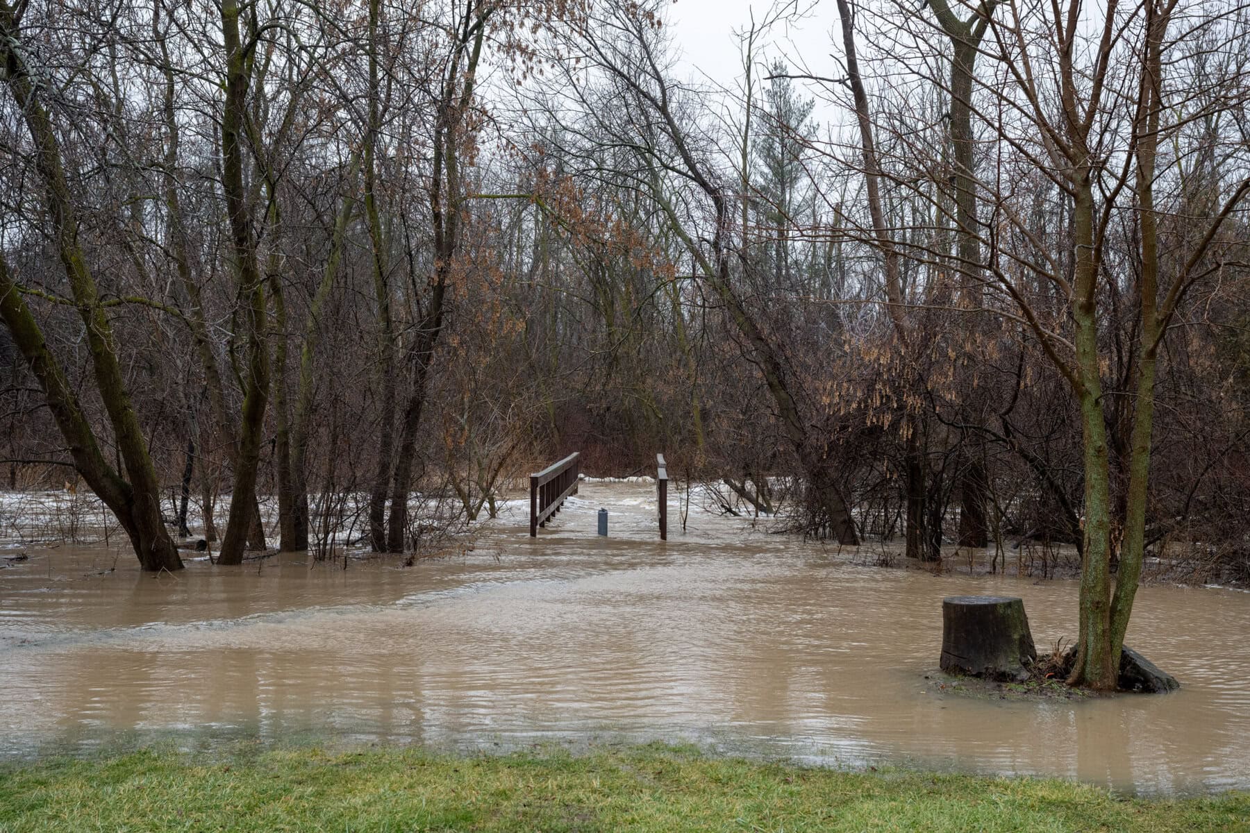

Homeowners in some parts of Niagara-on-the-Lake have been voicing grave concerns over problems with the town’s stormwater infrastructure — like in summer 2024, when two large rainstorms caused flooding in and around the homes of several St. Davids and Queenston residents.
Now, the Niagara Peninsula Conservation Authority and the Town of NOTL say they wants to hear about what residents have witnessed, as part of a plan to try and implement lasting solutions.
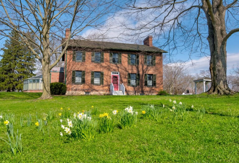
The conservation authority and the municipality are collaborating on an initiative to study and report on the Four Mile Creek watershed, which covers about a third of the town and captures and collects rain and snow in the area. They want to examine issues with flooding and erosion, potentially caused by development and more severe rainstorms as a result of climate change.
They are hosting a public workshop on Wednesday, June 17 from 6 to 8 p.m. at the NOTL Community Centre, where they will share the findings of their ongoing work and hear from people with concerns about flooding in their communities.
The conservation authority announced the initiative October 2024 after NOTL witnessed two major rainstorms with heavy downpour and flash flooding in June and July, overwhelming sewers, drains, culverts, ditches, storm ponds and streams.
Some residents suffered through backed-up sewage in their homes and other property damage, as documented in The Lake Report’s “Summer of the Flood” series.
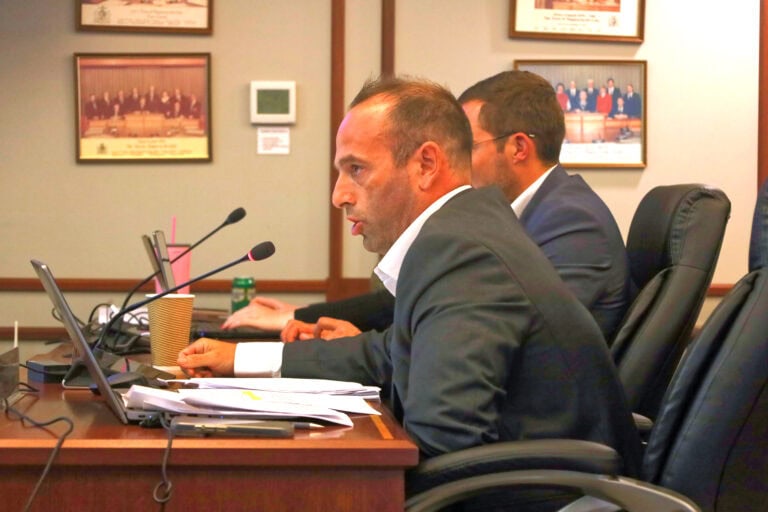
Geoffrey Verkade, the conservation authority’s senior manager of integrated watershed strategies, says the project is in its initial stages and that everyone involved is gathering information through technical studies to understand the watershed’s changes and impacts to NOTL.
“We’re engaged in a lot of this work because there was a lot of resident concerns raised over the years about the ongoing issues, or issues getting even worse with things like climate change,” he said.
He said the hope is to “diagnose” the problem and find ways to address current issues by collaborating with the owners of private properties through which the creek runs.
“There’s way to make enhancements within the watershed,” he said. “That might not be directly a municipal infrastructure situation, but it might be some stewardship action on the land that could reduce some of those risks.”
“Community knowledge and lived experience, they’re critical to this process.”
Verkade said the Niagara Peninsula Conservation Authority has already done geomorphic assessments of the watershed: researchers measure and analyze how the flow of water through Four Mile Creek erodes areas of the creek, impacting its form.
This has revealed that sections of the creek are “unstable” and prone to erosion, sedimentation and localized flooding.
“Those hazards are tied to altered channel form, drainage constraint and land use pressures.”
The issues residents are dealing with, he said, are not because of any singular cause, but a whole host of causes coming together.
As part of this project, the conservation authority hopes to update its floodplain mapping, which marks out where water will go during a particular flooding event.
The conservation authority is meant to protect its jurisdiction during specific flooding cases based on provincial regulations, including rare events known as a 100-year storm. Currently, to be considered a 100-year storm in Niagara, 101.6 millimetres of rain must fall in 12 hours.
Some argue the current standard for a 100-year storm doesn’t address the increase in intensity, duration and frequency of extreme rainstorms today, which research indicates is a result of climate change.
“You don’t get 100-year events all the time,” Verkade said. “But we are seeing the more frequent ones becoming more intense as well.”
As part of the floodplain mapping work, it will create models that consider the more significant possible impacts of climate change and simulate flooding with more intense rainstorms.
“It’s running some hypothetical scenarios with the best information that you have,” he said.
The conservation authority is aiming to complete the Four Mile Creek watershed study in 2029. To register to attend the June 17 workshop, visit getinvolved.npca.ca/four-mile-creek-watershed-plan.