
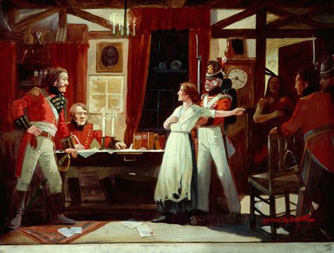


Visitors to the Niagara-on-the-Lake Museum later this month will get a chance to see how modern technology is shedding new light on one of Canada’s best-known historical journeys.
Sharon Janzen, Brock University’s maps, GIS and geospatial data specialist, will present “Curating a Journey: How Maps and Technology Bring Laura Secord’s Story to Life” next Thursday, July 23.
The lecture will explore how historical maps, Geographic Information Systems (GIS) and ArcGIS StoryMaps can be used to reconstruct Laura Secord’s 32-kilometre trek from Queenston to warn Lt. James FitzGibbon of an impending American attack during the War of 1812.
By aligning centuries-old maps with modern geography, Janzen will explain how historians and geospatial specialists identify likely travel routes and gain new insights into the landscape Secord would have crossed more than 200 years ago.
“Imagine being able to step in the landscape of 1813 and experience history as something you can actually see, follow, and explore,” Janzen said.
The presentation will also examine how digital mapping tools are changing the way historical stories are researched and shared with the public.
“It’s where curation meets cartography,” Janzen said. “The past comes alive right in front of you.”
The lecture begins at 7:30 p.m. Visit notlmuseum.ca/whats-on to register for the event. Registration is required.