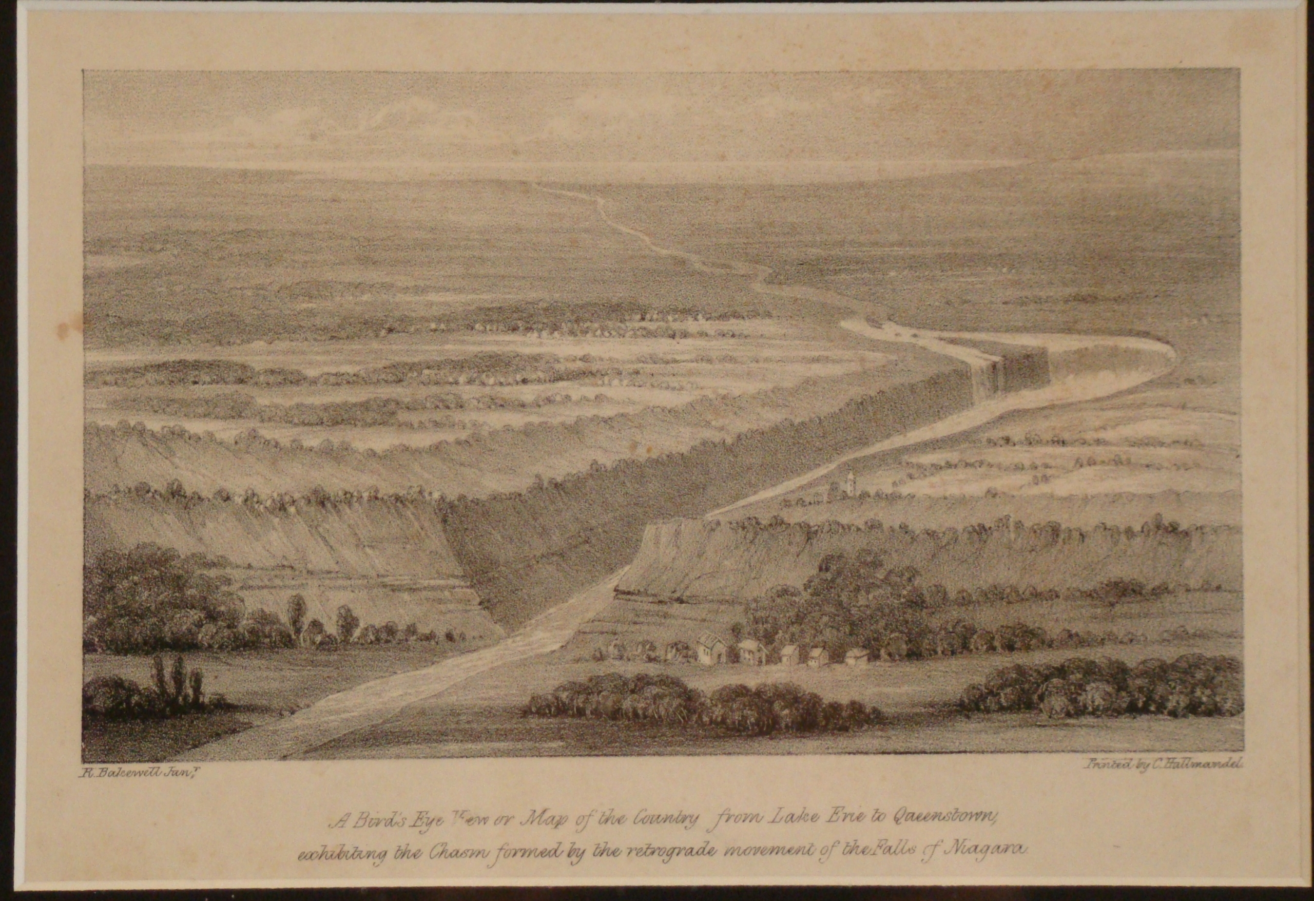
This bookplate is titled, “A Birds Eye View or Map of the Country from Lake Erie to Queenston. Exhibiting the Chasm formed by the Retrograde Movement of the Falls of Niagara.” It was drawn by Robert Bakewell (1790-1875). This topographic landscape drawing is a wide view of the natural scenery from Queenston to Lake Erie, recording the terrain with a three-dimensional quality of the surface.


