
A proposed subdivision for up to 28 homes in St. Davids has received the OK from the town’s politicians.
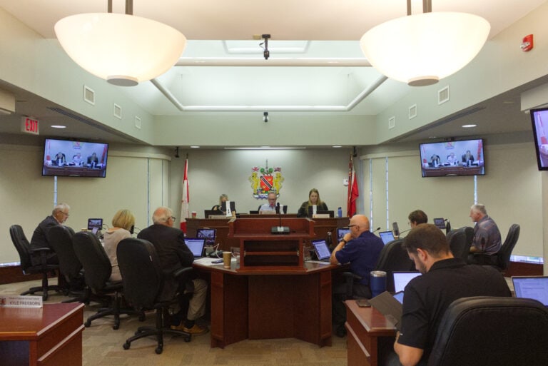
Councillors considered a recommendation report from staff, which supported the development of the Opulence subdivision on lands north of Hickory Avenue and west of Tanbark Road, during the committee of the whole planning meeting on Tuesday night.
The proposed development on the 1.776-hectare, or 4.39-acre, parcel would consist of as many as 28 single-family homes, according to the report.
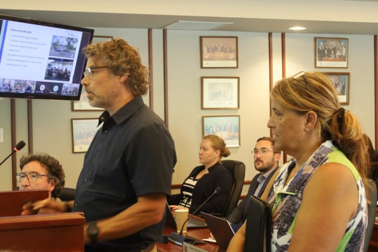
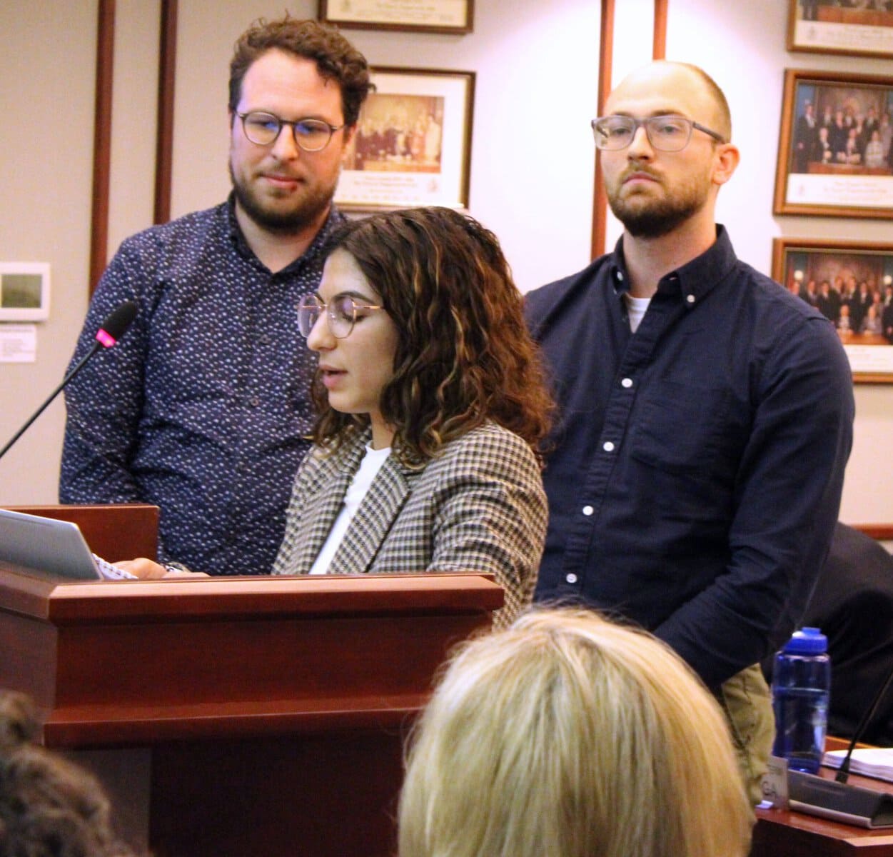
“We’ve been in town for over 30 years developing and making picturesque communities such as this proposed development Opulence,” said Syrina Gatta of Gatta Homes. “Smaller lots and efficient home designs enable us to offer more affordable housing stock by less lot cost without sacrificing energy efficiency or quality of products we always produce in our homes.”
But some St. Davids residents were unhappy with the proposed development, and shared their thoughts at the meeting.
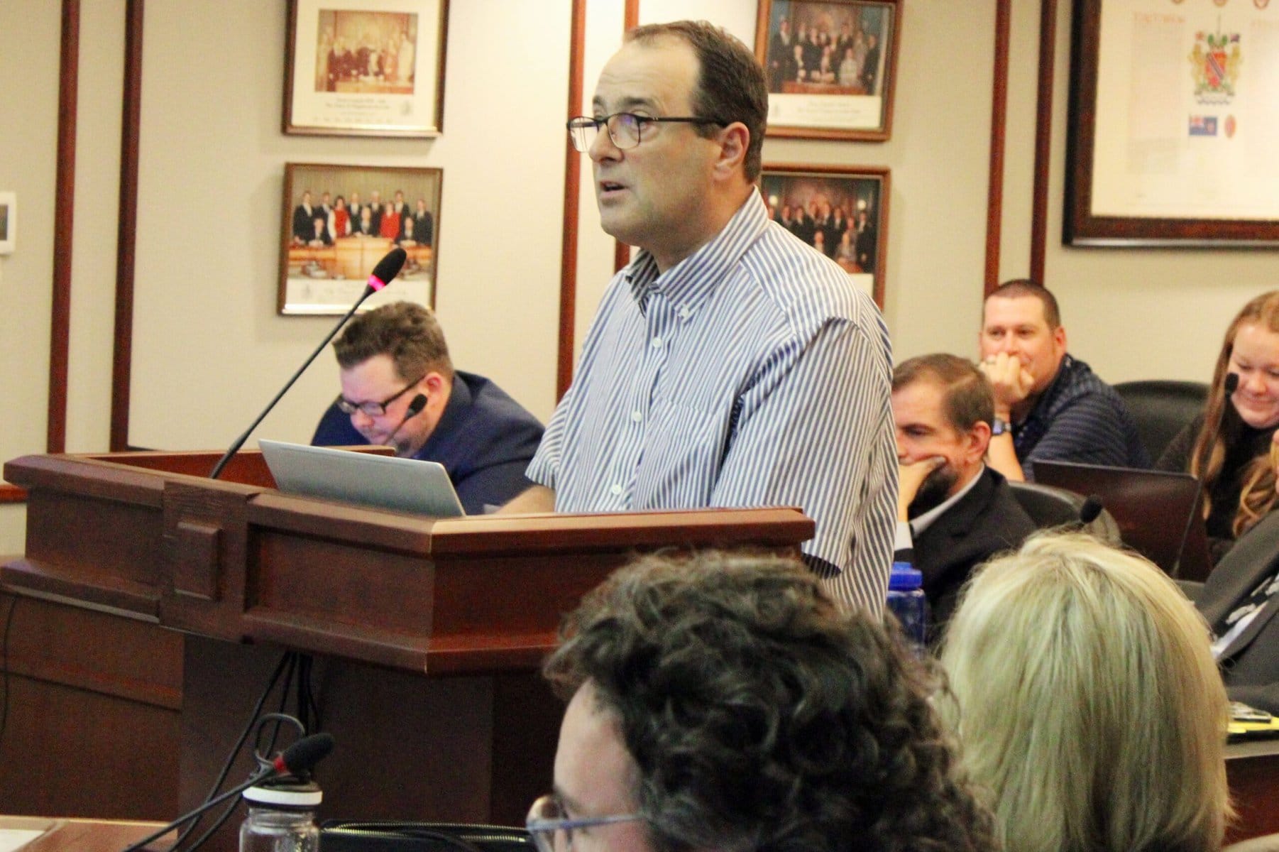
One of them, Dyck Lane resident Mike Maves, said his home borders on two other subdivisions – St. Davids Estates and Courtland Valley – and Opulence will make it three.
He expressed concern about the easements through his property the developer and Niagara Region are seeking.
“We don’t want this,” Maves said. “And if appropriate planning decisions were made, this would not be necessary.”
There have been “past planning and procedural errors are leading to new planning errors that are now affecting our property,” he added.
One of those errors, he said, was assuming Hickory Avenue could serve as a connection between St. Davids Estates and Courtland Valley.
“The drafters of this long-term plan for this area should not have assumed that our land would absolutely become available for the purpose of connecting these two subdivisions,” Maves said.
To drive home his point, he showed a photo of the property taken by Google Earth.
“A simple satellite view would show anyone that there is a barn obstructing the proposed street path,” Maves said. “That barn has been here long before these subdivisions were here.”
Some members of council also had questions.
Coun. Wendy Cheropita asked if Gatta Homes were planning similar work to deal with drainage in the new subdivision as they have in other projects in town.
“In some of your current developments, you’ve made provisions for additional swales behind homes and (used) mature trees to sort of really help with the drainage. Do you have any plans for the same with this particular development?” she asked.
Speaking on behalf of the developer, Ethan Laman, a planner with Upper Canada Consultants, said that is being looked at as a part of the design process.
“We contemplated the engineering design already and started to review what this grading design looks like,” he said.
Coun. Sandra O’Connor, though, after hearing concerns raised by residents living in the area, said there were two trees in the area of a future town-owned walkway from Tanbark Road into the new subdivision — a copper beech and a black walnut.
“It’s in that walkway,” O’Connor said of the beech tree, “so, it will be a tree, a tow-owned tree, so from that perspective, I think that we should have some say as to whether that should be kept, preserved or be removed.”
But Kristen McCauley, NOTL’s director of community and development services, told O’Connor that the beech is located in the same area that will be used as an access to the site during construction,
“It’s something we’d have to look at and balance to see if it’s appropriate or possible to save the tree,” McCauley said.
As for the black walnut, O’Connor said it was part of a grove of four mature trees.
“It’s in good condition. It’s the largest in that grove,” she said. “And I would like that to be looked at for possible preservation as well.”
O’Connor, meanwhile, also expressed concern that the proponent was offering cash in lieu of parkland in the development.
“We are seeing a trend in many of the subdivisions that are coming forward lately that there is cash in lieu of parkland,” she said. “I know this is a small subdivision but we can have a little parkette or we can have walkway parks and I think that walkway to Tanbark would be an ideal location … and make sure there are trees or benches, something like that.”
The proponent had sought a number of amendments to the town’s official plan and zoning bylaw.
Currently, the property is zoned residential development and the developer is asking it be changed to residential (R2) zone with site-specific provisions concerning lot frontage, area and coverage, front and rear yard setbacks, exterior side yard setbacks and encroachments.
In its report, planning staff said the project “is consistent” with the Ontario government’s provincial policy statement, and conforms with the province’s growth plan, the Niagara Escarpment plan and Niagara Region’s official plan.
The proponent, staff said, asked for “a modest increase” in density to facilitate the number of lots, “resulting in a residential net density of 20.33 units per hectare (8.24 units per acre).”
The Town’s official plan said that in the case of low density residential developments, that figure should not be more than 14 units per hectare (six units per acre).
Surrounding developments, the report stated, show a mix of low and medium-density uses.